
Wilkerstat BPS

4.1star
3.88K reviews
100K+
Downloads

Everyone
info
About this app
Safety starts with understanding how developers collect and share your data. Data privacy and security practices may vary based on your use, region, and age. The developer provided this information and may update it over time.

No data shared with third parties
Learn more about how developers declare sharing

This app may collect these data types
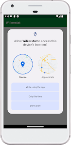
Location, Personal info, and Photos and videos

Data isn’t encrypted

You can request that data be deleted
Ratings and reviews
4.1
3.88K reviews

Eko Wahyu Lestari
- Flag inappropriate
- Show review history
February 16, 2022
Nice apps. Works perfectly fine.
6 people found this review helpful

Saddam Mahdalie
- Flag inappropriate
February 16, 2022
Gagal melakukan export project. Mohon solusi nya. Device Redmi 9 4/64
3 people found this review helpful

muslikh prabowo
- Flag inappropriate
February 21, 2022
Android 11 realme ram 8/128, mapping Dan tagging tidak bisa loading
What's new
Bug fixes and performance improvements